Victoria BC to Abbotsford BC
Totem Pole along Malahat Highway, Vancouver Island, BC
View from the Malahat, Vancouver Island, BC
Boarding the ferry from Vancouver Island to Saltspring Island, BC.
Rebecca analyzing her photographs from the ferry to Saltspring Island
A classic Beemer heading to Saltspring
A young beauty heading to Saltspring
How's this for ocean-front property?
Note the kayakers out for a ride.
Ocean-front property - "just a few short steps to the beach"...
words of wisdom
The Marina at Ganges, Saltspring Island
Starfish catching some sun at low tide, Saltspring Island
On the ferry, Queen of Oak Bay, from Nanaimo on Vancouver Island to Horseshoe Bay on the BC mainland.
The Queen of Oak Bay is 457 feet long, carries up to 362 vehicles on 2 main decks plus 2 small 'gallery' decks for motorcycles and other 'under-hight' vehicles.
Bob feeling the salt air through his hair.

As we approach the BC mainland we enjoy the view of the Lions Gate Bridge crossing the mouth of Vancouver harbour from North Vancouver on the left to Stanley Park on the right.
Oh boy, oh boy, oh boy...
Anticipating the landing.
 Time to disembark...
Most of the BC Ferries are set up so motorcycles are among the first on and first off.
A brisk pace of 140 km/h (84mph) is set by the first rider off the boat and rest do an admirable job keeping up
Crossing the Lions Gate Bridge
Downtown Vancouver from the Stanley Park Seawall
Statue of Harry Jerome,
Canadian olympian
Lions Gate Bridge
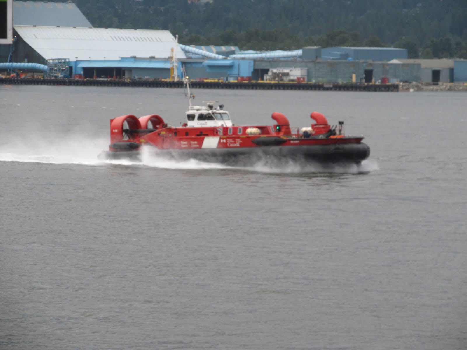
Canadian Coast Guard Hovercraft
'Girl in wetsuit' statue, Stanley Park
Sunday evening turned out to be a great time to tour downtown Vancouver - good lighting and no traffic... and the rioters have gone home

Harbour Centre Tower with revolving observation deck and restaurant
Building a new 10-lane suspension bridge adjacent to the existing 5-lane Port Mann bridge

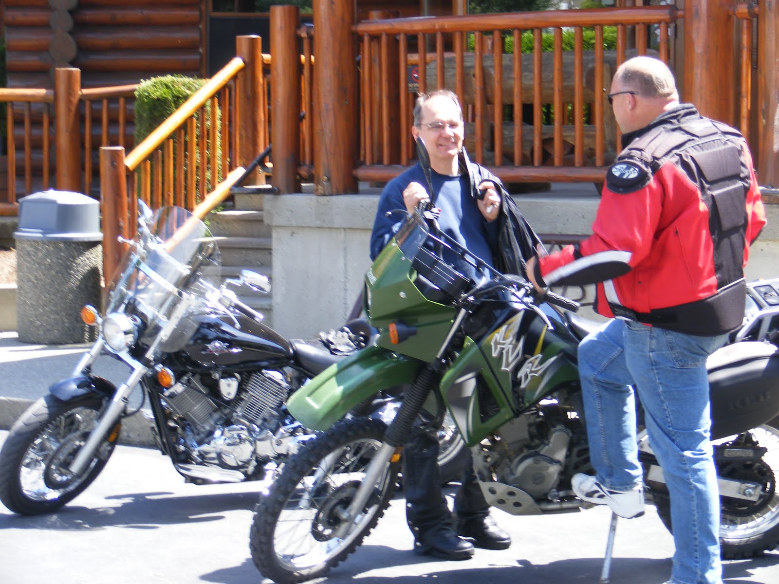
Riding with old buds...
through the lush Fraser Valley farm lands surrounded by beautiful mountains
the tough guy...
the cool dude...
and Captain Adventure - ready for anything
Ok, so even Captain Adventure has to wait for a train
Sasquatch lives just over there eh...
at Harrison Hot Springs by Harrison Lake
and he's a little angry.
so, you been ridin' long?
smile
Riding the Fraser Canyon...
to the gates of hell
At this spot in the Fraser, the canyon is 90 feet wide and and the river is so violent, it's called Hell's Gate.
With spring run-off adding to river volume, today it's 176 feet deep so the water is moving through fast and furious.
The airtram down to the other side
Tammy was waiting for us in Abbotsford and enjoyed the day out on the bikes
Even Hope is near Hell's Gate
a glimpse of big foot?
We took time to explore the Othello Tunnels. They were carved through the Coquihalla River Canyon for the Kettle Valley Railroad in the early 20th century.
New buds
A blasting scar inside one of the Othello Tunnels. These are throughout each tunnel.
The original rail bridges are modified as part of the hiking trail through the decommissioned rail line now a Provincial Park
This canyon is enjoyed by hikers, climbers and movie-makers - 'Rambo: First Blood', 'Shoot to Kill', and 'The Adventures of Yellow Dog' were all filmed here.
Cam & I stroll the trail through the tunnels
Along the trail we find Devil's Club or Oplopanax horridus...
it has medicinal purposes but handle with extreme care!
west of Hope, BC
This regal specimen in an Abbotsford park
It's great to get back together with friends after a long absence.
Bob, Bevan, Brad, Dan & Bruce eh
When we lived near the Clayburn Store we would go there frequently with our girls for penny candy.
We step back in time in the restored 1912 country store and tea shop as we ponder our candy selections - so many choices of great candy from around the world.


