Kamloops is north east of Abbotsford but we travelled west as we left Abbotsford to Vancouver then north up the Sea to Sky Highway #99 past Sunset Beach, Lions Bay, Britannia Beach to Squamish for lunch...

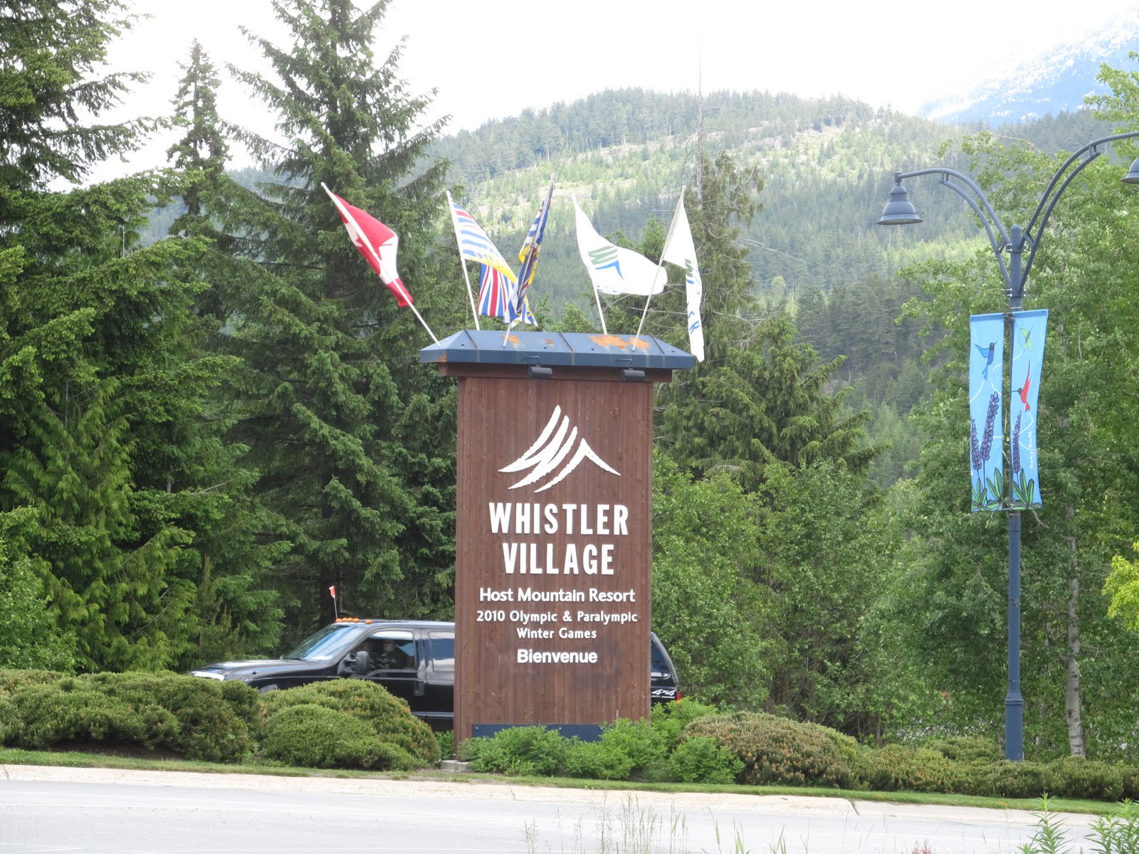
continuing on to Whistler Village past many of the 2010 Winter Olympic venues...

and found a friend in Pemberton.
The 2010 Winter Olympics logo is named Ilanaaq the Inunnguaq.
Ilanaaq is the Inuktitut word for friend.

The road from Pemberton to Lillooet is the Duffy Lake Road and can experience snow any month in the year and winters here can be harsh.

Digital cameras were made for scenery like this.
Almost unlimited photo capacity.
Almost unlimited photo capacity.


The scenery along the Duffy Lake Road is second to none

Duffy Lake Road

at Duffy Lake


Rebecca getting creative with her camera

one of her pictures


One lane bridge near Lillooet


A piece of mining equipment on display

On this trip we've seen many abandoned homesteads fallen into disrepair.
Who were the people who built them? What was their story? What became of them?

From Lillooet we ride west to the village of Cache Creek
at the cross-roads of highways 97 and the Trans-Canada Hwy 1.
During the gold rush of the mid 1800's, Cache Creek served as a halfway point for many hopeful prospectors en route to the Cariboo Gold Fields.

Farming & Ranching are a large part of the economy of the interior of the province of BC

Kamloops, my hometown, at the east end of Kamloops Lake.

hey!! cool ... you guys should be headed back soon .. Getting "ME" today .. only if she is a good girl .. been a few days ... hope all is well
ReplyDeleteflt is on time so far , web says she is in "JFK " this morning ... hope her appetite for a northern accent is satisfied .. :)
ReplyDelete